Social media
Facebook page
Banglanews24 English
Banglanews24
International
Entertainment
Country
Sports
Life Style
Health
Economics
Special
Islam
YouTube channel
Banglanews24
International
Country
Entertainment
Sports
Health
Instagram
Banglanews24
X
Banglanews24
LinkedIn
Banglanews24
Threads
Banglanews24
WhatsApp
Banglanews24
Telegram
Banglanews24
TikTok
Banglanews24
Pinterest
Banglanews24
Thursday 25 June 2026
Open forum
Dream Journey across amazing Australia
Part III
Saleque Sufi
Publish: 18 September, 2014 02:00
Loading...
Loading...
Loading...
Loading...
Latest News
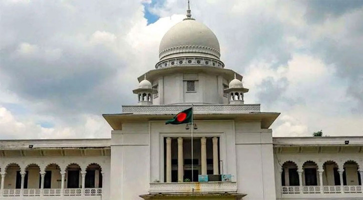
HC seeks list of children staying with mothers in prisons
The World Cup Dividend: Bangladesh’s Untapped Football Economy
Ayari double helps Sweden crush Tunisia 5-1
Diallo strikes late as Ivory Coast beat Ecuador
Bangladesh welcomes US-Iran peace deal
Gold, silver prices rise again
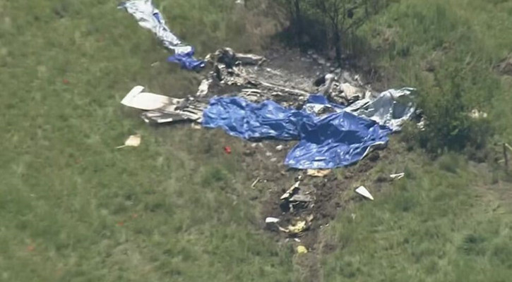
Twelve killed in USA plane crash
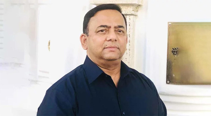
Dinesh Trivedi's remarks stir up Dhaka
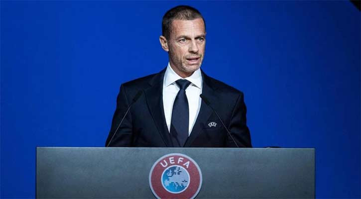
World Cup nations reject UEFA chief's criticism
Oil prices slide as US-Iran deal raises Hormuz hopes
US, Iran reach deal to end war, reopen Hormuz
BB dissolves Islami Bank board, appoints administrator
Japan fight back twice to hold Netherlands
Germany rout Curacao 7-1 in World Cup opener
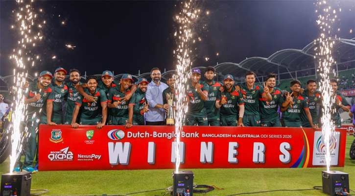
Bangladesh clinch ODI series 2-1 against Australia
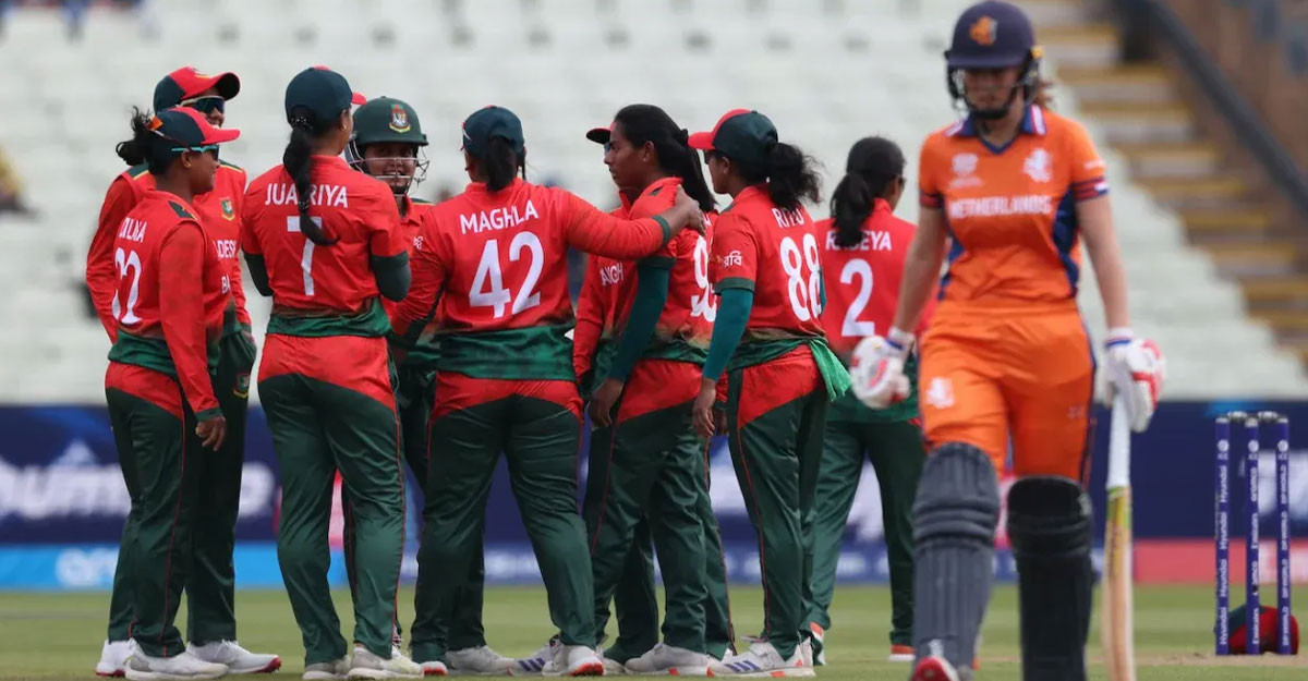
Juairiya fifty gives Bangladesh winning start
Connolly denies Bangladesh whitewash in ODI thriller
Benazir to be brought back soon: Home Minister
Russian Embassy marks Russia Day in Dhaka
TOAB Agragami Oikkojot hosts Sufi Night in Dhaka
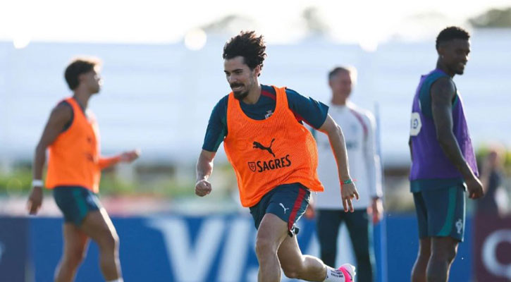
Portugal's star quality not enough for World Cup success: Vitinha
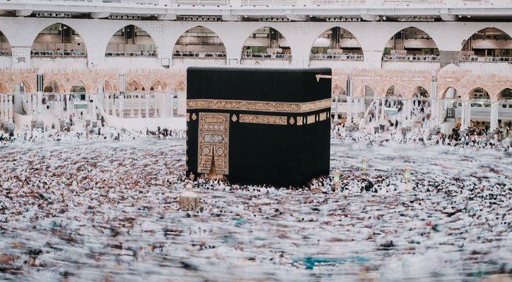
55,133 Bangladeshi pilgrims return from Saudi Arabia
Two killed in separate lightning incidents in Netrokona
Japan researchers develop rapid test for deadly tick-borne virus
Bangladesh set Australia 275 in whitewash bid
Protests set to grip Geneva ahead of G7 summit
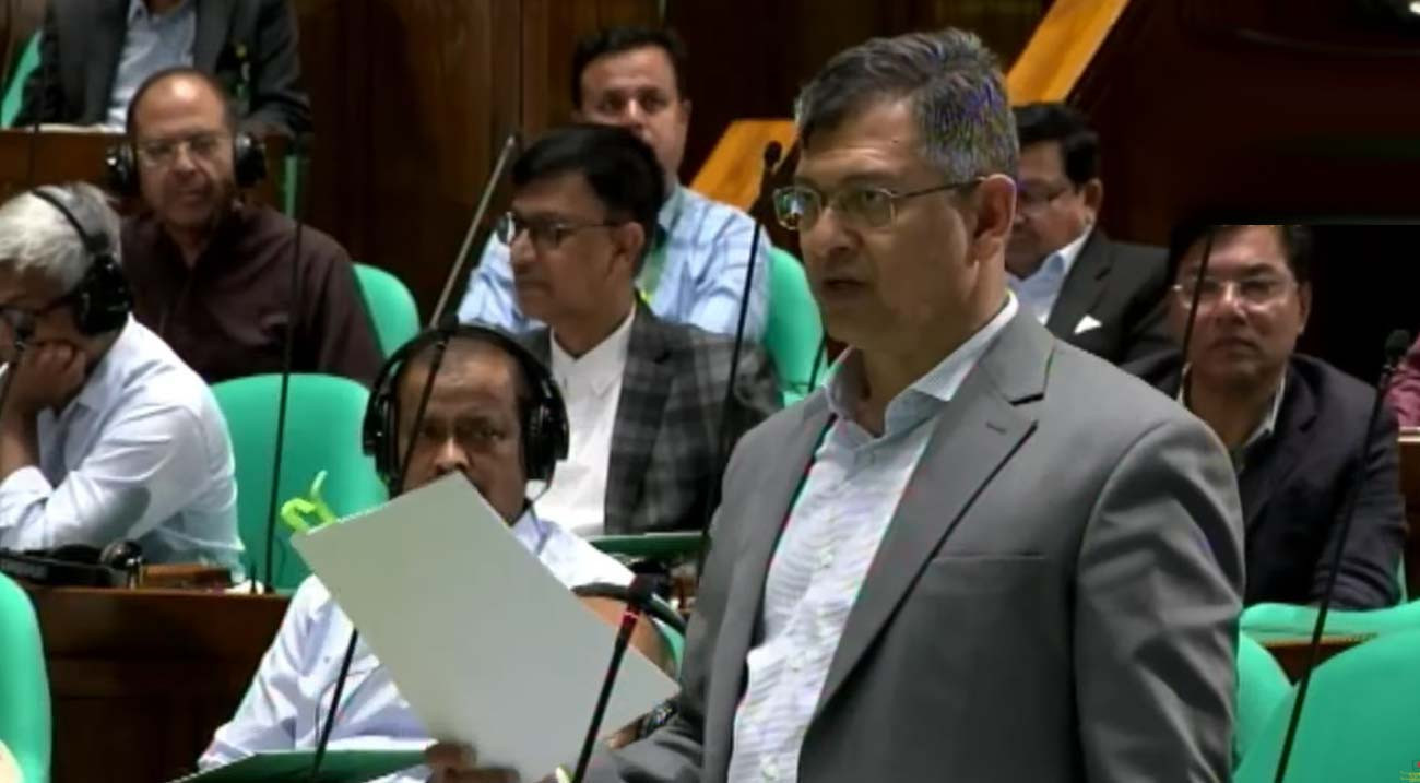
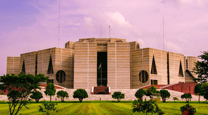
JS budget session resumes
Ex-IGP Benazir arrested in Dubai
Israel army issues evacuation order for 29 south Lebanon villages
BSF detains Bangladeshi youth at Darshana border
Most Read
Bangladesh clinch ODI series 2-1 against Australia
US, Iran reach deal to end war, reopen Hormuz
Germany rout Curacao 7-1 in World Cup opener
Connolly denies Bangladesh whitewash in ODI thriller
Juairiya fifty gives Bangladesh winning start
Japan fight back twice to hold Netherlands
World Cup nations reject UEFA chief's criticism
Bangladesh welcomes US-Iran peace deal
Twelve killed in USA plane crash
Ayari double helps Sweden crush Tunisia 5-1
Diallo strikes late as Ivory Coast beat Ecuador
HC seeks list of children staying with mothers in prisons
BB dissolves Islami Bank board, appoints administrator
Gold, silver prices rise again
Dinesh Trivedi's remarks stir up Dhaka
Oil prices slide as US-Iran deal raises Hormuz hopes
The World Cup Dividend: Bangladesh’s Untapped Football Economy
বাংলা
Latest
National
Politics
Business
International
Sports
Entertainment
Technology
Education
Video
বাংলা
Video
National
Politics
Business
International
Sports
Entertainment
Technology
Education
Health
Lifestyle
Banglanews Special
Open forum