Tuesday 09 December 2025
বাংলা
National
Politics
Business
International
Sports
Entertainment
Technology
Education
Video
বাংলা
Video
National
Politics
Business
International
Sports
Entertainment
Technology
Education
Health
Lifestyle
Aviatour
Special
Banglanews exclusive
Law
Open forum
Technology
Google Earth to Go Underwater
ICT Desk
Publish: 26 August, 2010 02:01
Loading...
Loading...
Loading...
Loading...
Latest News
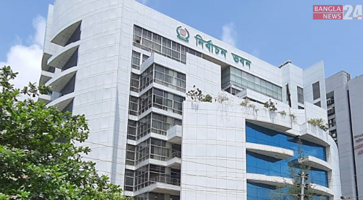
EC registers 81 local poll observer groups
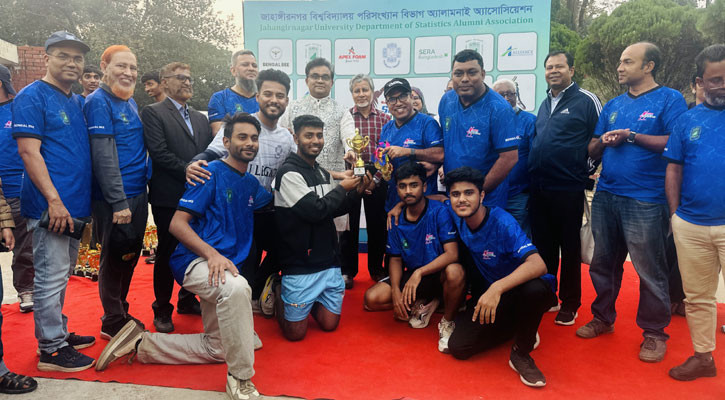
JUDSAA Sports Carnival 2025 held at Jahangirnagar University
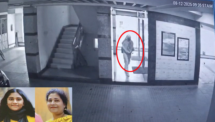
Maid suspect seen fleeing on CCTV; two knives found
Mother, daughter murdered in Dhaka, maid missing
Air ambulance not arriving for Khaleda Zia
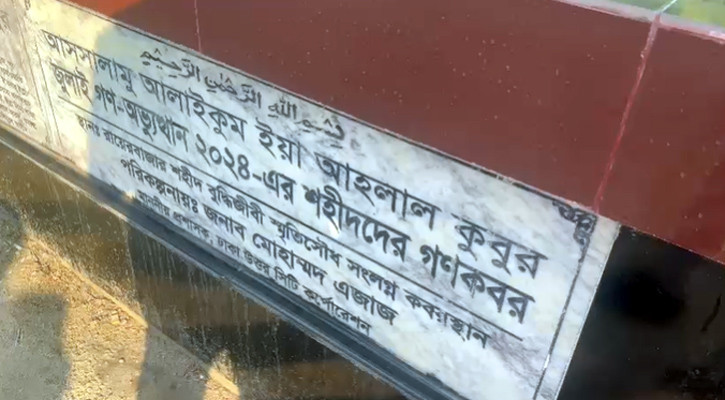
CID exhumes July uprising victims at Rayerbazar for 2nd day
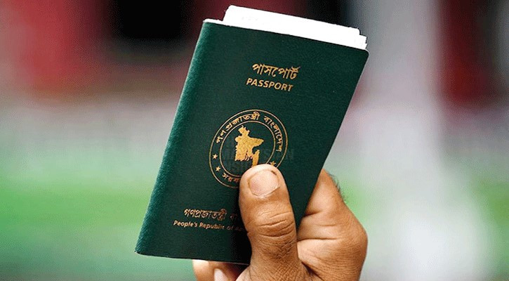
Romania visa options expand to three more countries
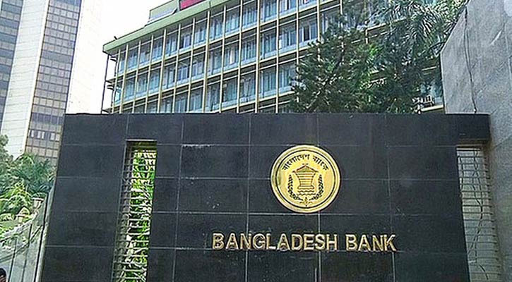
BB reserve heist report delayed to January 13
New 20-party National Democratic Front launched
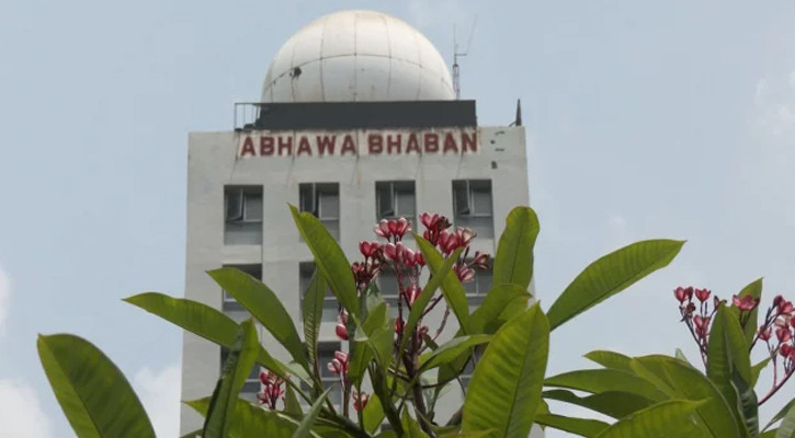
Lowest temp hits 10.4C, weather to remain dry
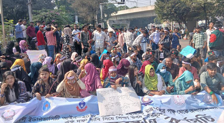
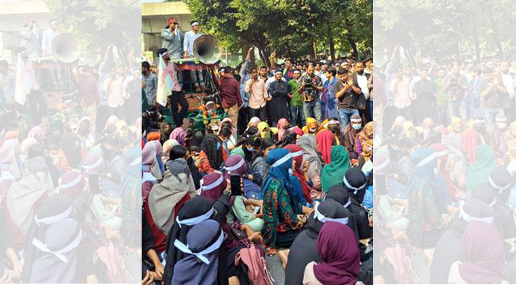
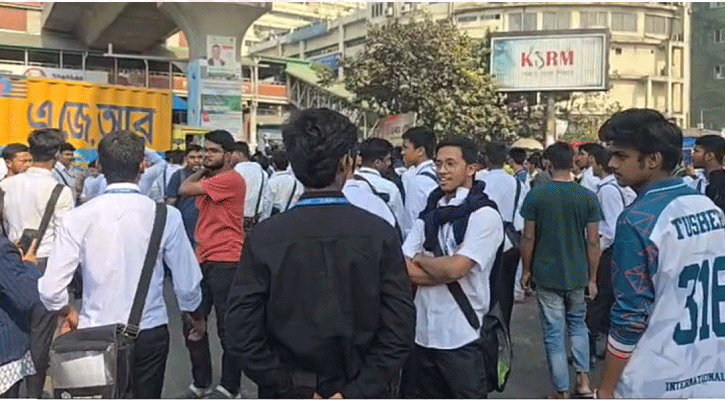
7-college students block Secretariat road
EC asks BTV, Betar to be ready to record poll schedule
Mustafizur shines as Dubai Capitals secure big win
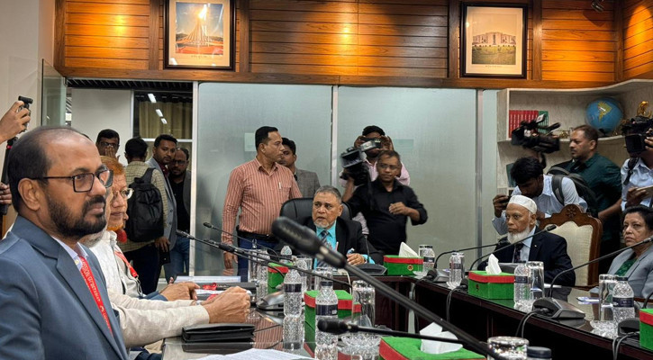
Jamaat in meeting with Election Commission
Air ambulance for Khaleda Zia due Tuesday
No major change in Khaleda Zia’s condition
Soybean oil up Tk 6 a litre
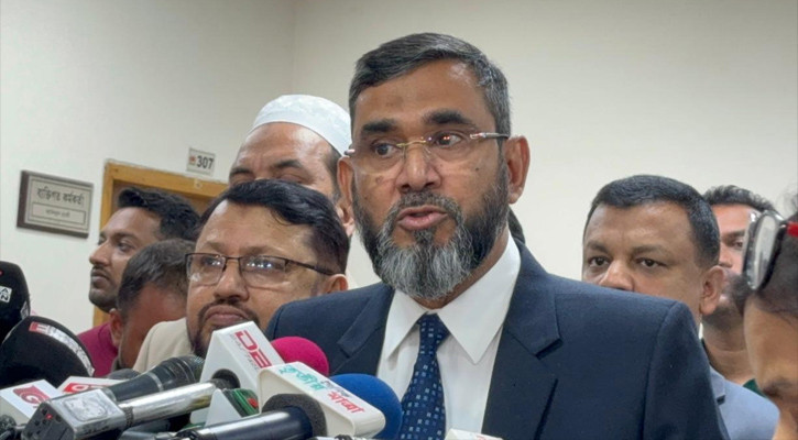
Former Press Club president Shaukat Mahmood detained
Bangladesh inflation rises to 8.29% in November
EC extends polling hours, election schedules due this week
42.5m children receive typhoid shots in Bangladesh: UNICEF
Teenager killed in Tangail road crash
Court sets Jan 13 for probe report in Salman Shah murder case
7-college students rally at Shikkha Bhaban for ordinance
July uprising transformed people’s mindset: Fakhrul
UK universities restrict entry for Bangladeshi, Pakistani students
Students block Shahbagh over ‘schooling system’
89% of journalists fear election-time assaults: Study
Five hurt, 23 rescued in Turag apartment fire
Expat postal-voter registration cross 2.25 lakh
Most Read
No major change in Khaleda Zia’s condition
Air ambulance for Khaleda Zia due Tuesday
Jamaat in meeting with Election Commission
Mustafizur shines as Dubai Capitals secure big win
EC asks BTV, Betar to be ready to record poll schedule
7-college students block Secretariat road
Lowest temp hits 10.4C, weather to remain dry
New 20-party National Democratic Front launched
BB reserve heist report delayed to January 13
Romania visa options expand to three more countries
CID exhumes July uprising victims at Rayerbazar for 2nd day
Air ambulance not arriving for Khaleda Zia
Mother, daughter murdered in Dhaka, maid missing
Maid suspect seen fleeing on CCTV; two knives found
JUDSAA Sports Carnival 2025 held at Jahangirnagar University
EC registers 81 local poll observer groups